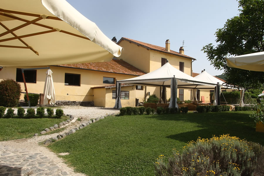
WELCOME
VILLA WHITE 8+3  Campagnano di Roma, 30 Minutes From The Center Of Rome
GUIDE TO STAY AT VILLA WHITE
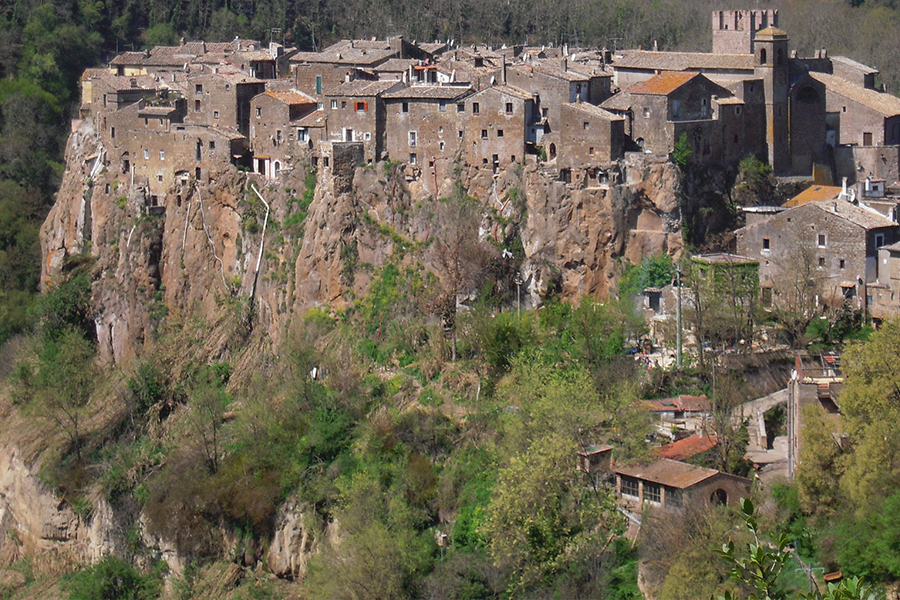
Campagnano di Roma, 30 Minutes From The Center Of Rome
GUIDE TO STAY AT VILLA WHITE
Campagnano di Roma, 30 Minutes From The Center Of Rome
GUIDE TO STAY AT VILLA WHITE